General Transit Feed Specification (GTFS) data is essential for people who study and/or manage transport networks in cities of all sizes: City planners, transport managers, researchers, MaaS innovators.
We create GTFS data in places where GTFS is hard to create – because our applications depend on it. And we create GTFS with detail unavailable from official sources. This is why partners such as The World Bank depend on Trufi to develop thorough data for informal transport.
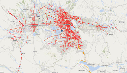
By combining Volunteered Geographic Information (VGI) with remote mapping techniques, we create GTFS data that is more accurate and detailed than what is available from official sources. (And often official sources don’t exist.)
Democratized data eliminates Transport Data Dead Zones – the blind spots of transport authorities.
GTFS Services
- Creating accurate GTFS when none exists
- Revalidating and updating outdated GTFS files.
- Converting/Extracting OpenStreetMap data to GTFS and other formats (e.g. DXF format for AutoCad)
- Combining crowdsourced and remote-mapped Volunteered Geographic Information (VGI) to create GTFS
- Strengthening and Supporting OSM Communities to keep the GTFS source data fresh and grounded in reality – reflecting the most current conditions on the ground
- Creating and maintaining GTFS Flex and GTFS Real Time extensions